
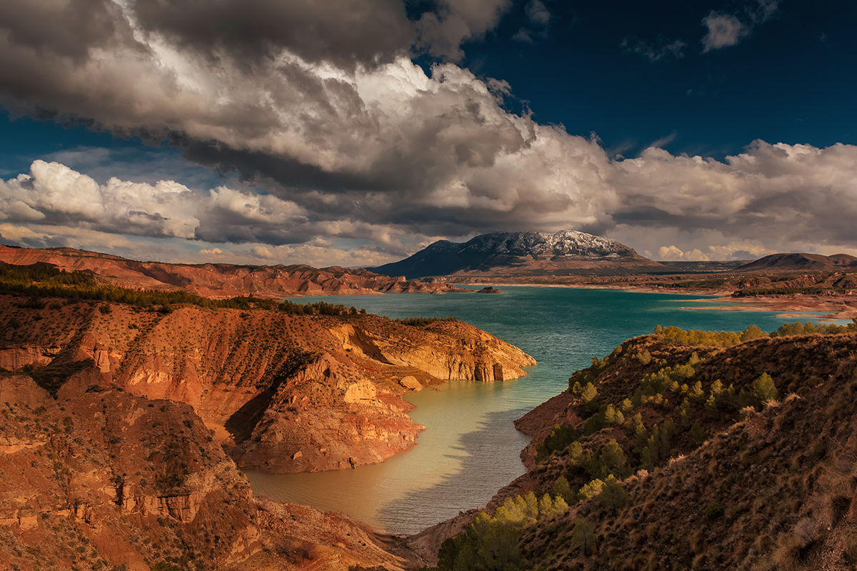
The Granada Geopark extends over an exceptional territory in the eastern part of Andalusia. The geology of the region has shaped the life and culture of its inhabitants from prehistoric times to our own day. Geology, geomorphology, archaeology and cultural legacy are closely connected in one of the territories where the oldest human remains and ancestral traditions in the European continent are found.
The territory of the Granada Geopark, with 4,722 km2 and 47 municipalities belonging to the districts of Guadix, Baza, Huéscar and Montes, includes the current river valleys generated during the Quaternary in the north of the province of Granada, as well as much of the Guadix-Baza basin and part of the mountains that delimit it. This territory has traditionally been known, from a geographical point of view, as the depressions or hoyas of Guadix and Baza. Its unique geological features supplement elements not included in other UNESCO Global Geoparks.
Since the UNESCO Global Geopark declaration was obtained (on 10 July 2020), through the International Geoscience and Geoparks programme, this territory – and especially its people – have had a unique opportunity to mitigate the constant depopulation process to which it is subject, as well as to raise public awareness of the importance of the natural, cultural and ethnographic heritage, all with a responsible attitude to the environment.
